
 English


Low pressure likely to form over Bay of Bengal by May end: IMD


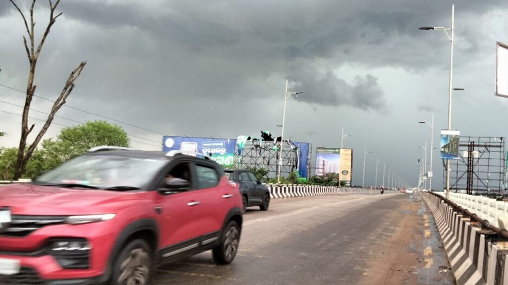
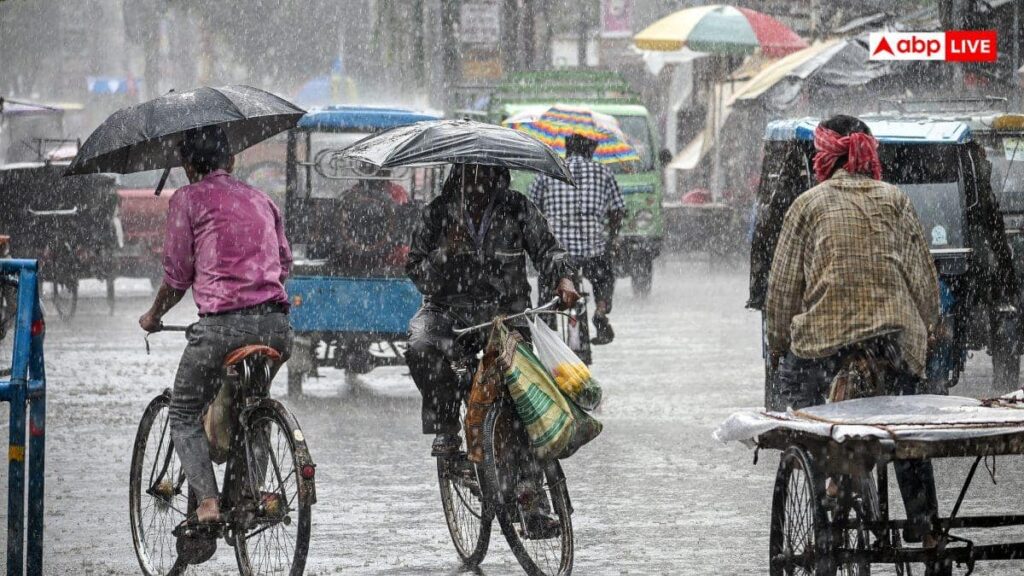
A low-pressure area is likely to form over the Bay of Bengal towards the end of this month raising the possibility of intensified thunderstorm activity across Odisha, predicted the India Meteorological Department (IMD) on Friday.
According to the MeT office, a cyclonic circulation remains active over Odisha and its adjoining regions. Under its influence, conditions are becoming favourable for the formation of a low-pressure area over the east-central Bay of Bengal around May 28 and 29.
The IMD said the system is likely to form over the east-central region of the Bay of Bengal and may subsequently move in a north-westward direction. Though the intensity and exact track of the system are yet to be determined, meteorologists have indicated that its impact could enhance Kalbaisakhi or nor’wester activities in several parts of Odisha.
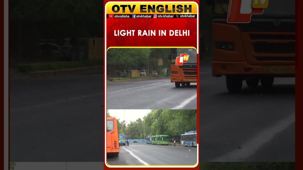
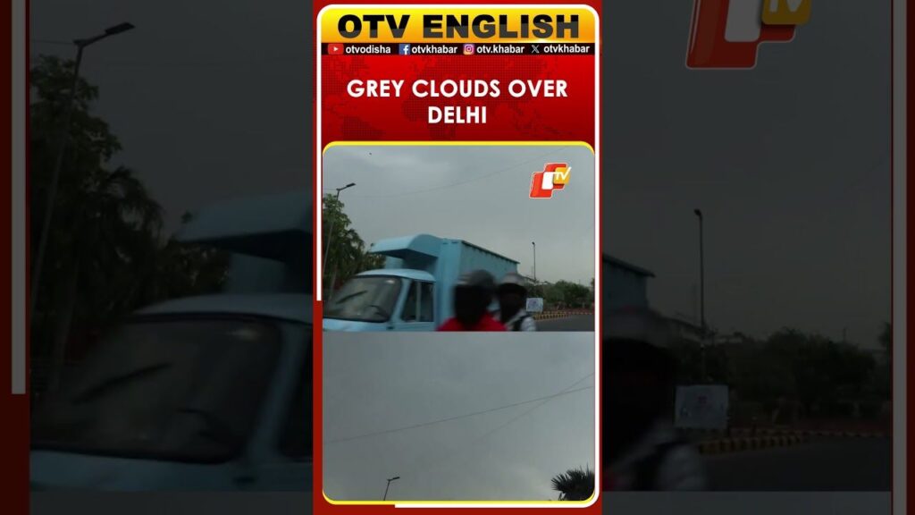
The weather department has warned that the state may witness increased thunderstorm activity accompanied by gusty winds, lightning and moderate rainfall during the period. Several districts are already experiencing unstable weather conditions due to the prevailing cyclonic circulation.
Also Read: Bhubaneswar burns as temperature crosses 42°C mark
Meanwhile, the IMD has predicted that Odisha is set to continue experiencing intense heatwave conditions for at least the next five days.
Authorities issued a yellow warning for 15 districts as temperature is expected to rise further across several parts of the state.